

Maireabhal [Marrival]
Good walks are even better shared.
Overview
Overview
Maireabhal, affectionately known as Marrival, stands proudly among the Scottish Highlands at 808 meters. It might not be the tallest in the region, but its charm and accessibility make it a favoured destination among hikers and nature lovers.
Geology
The mountain's granite composition is fascinating. It allows for a rugged terrain adorned with intriguing rock formations while the surrounding schist shines a spotlight on geological diversity. Remember, rocks won’t tell you their stories unless you do some serious climbing!
Access and Parking
Getting to Maireabhal is straightforward for those with a bit of determination. Start at the small car park at NF801698, just a peep down the road from Tarbert. If you fancy yourself as a bus navigator, the nearest public transport runs from Tarbert - just keep an eye on the schedules, as they're as reliable as the Scottish weather!
The Route
The Maireabhal Circular Route at 10.5 km takes you through diverse landscapes, from plush greenery to the rocky ascents that define this area. The trail is moderately challenging, so lace up those sturdy boots and get ready to stretch the legs.
Summit Features
Upon reaching the summit, you'll be rewarded with a rocky outcrop and a quaint wooden cairn. Feeling the wind in your hair up there? That's Mother Nature's way of congratulating you!
Views and Experiences
The summit views are breathtaking! Marvel at the dramatic Outer Hebrides coastline and the majestic peaks of Harris. Ideally, visit in spring or autumn when the colours are a sight to behold.
Hazards
Just a heads up: the weather can change faster than a sheep can run! Keep an eye on the sky and your foot placement, as the rocky and boggy areas can lead to unexpected tumbles.
Facilities
Though Maireabhal doesn’t provide much in the way of facilities, nearby Tarbert serves up delightful cafes and amenities to fuel your adventure or clean up afterward.
History
The name Maireabhal tells tales of Celtic heritage, adding to its charm and significance in Scottish culture.
So, whether you're after a peaceful stroll or an exhilarating climb, Maireabhal welcomes all adventurers with open arms! Just remember: while we love the ruggedness, safety never goes out of style.
Happy hiking!
Explore routes near Maireabhal [Marrival]
Public walks starting within 80 km of this hill. Nearby does not mean a route reaches the summit; check its map and access before setting out.
Berneray Community Hall to the beautiful beach
View route
Dun Mhulan Broch Quick Walk
View route
Beautiful private beach walk Isle of Harris
View route
Route planning notes
These notes describe possible approaches, not verified navigable routes or permission to cross land. Check current paths, local access rules and conditions before setting out.
Maireabhal Circular Route
A scenic circular route that provides an immersive experience of the highlands.
Make a day of it, together
Find someone to share the walk with, or organise a day out along a route you like.
Photo Gallery
View all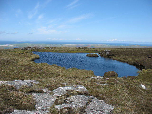 Photo could not load
NF8069 : Lochan on the upper slopes of Maireaval
David Purchase
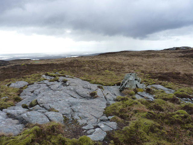 Photo could not load
NF8069 : Rocks on the moor, high on Maireabhal
Richard Law
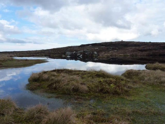 Photo could not load
NF8069 : Tiny lochan near the summit of Maireabhal
Richard Law
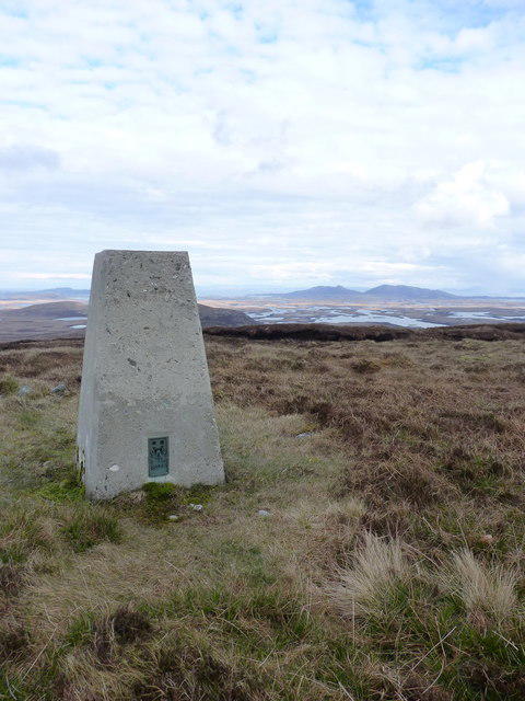 Photo could not load
NF8070 : Summit trig - Maireabhal
Richard Law
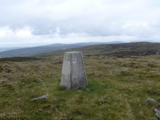 Photo could not load
NF8070 : Marrival trig
Iain Macaulay
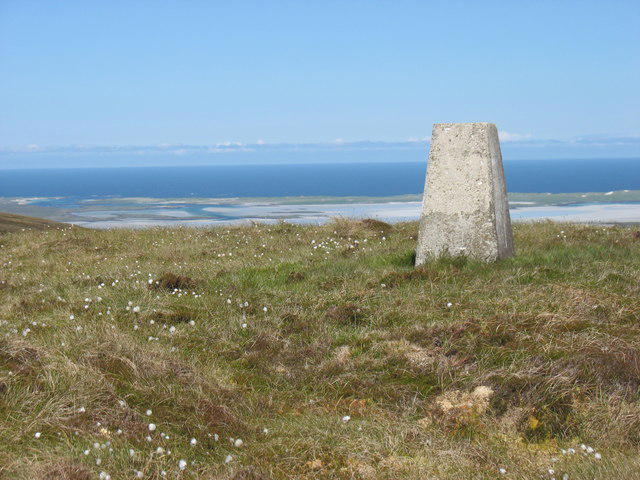 Photo could not load
NF8070 : The summit trig point on Maireaval
David Purchase
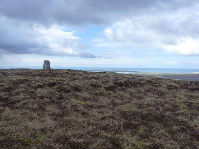 Photo could not load
NF8070 : Maireabhal summit view
Richard Law
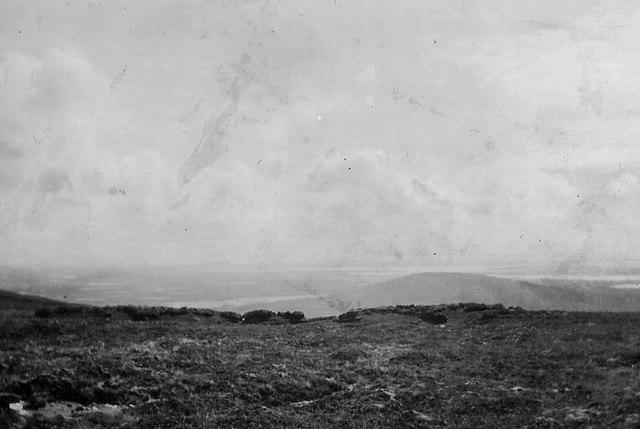 Photo could not load
NF8070 : Looking south from Marrival/Bho Mhairebhal gu deas
The Revd William Matheson
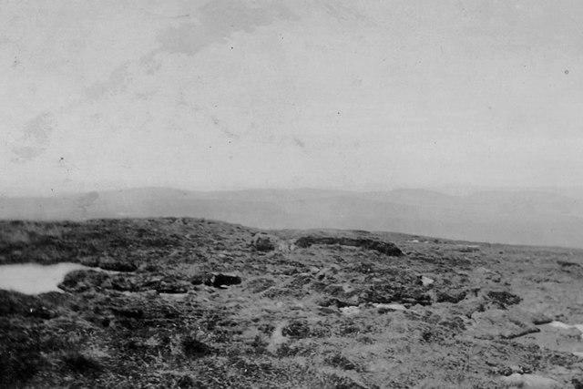 Photo could not load
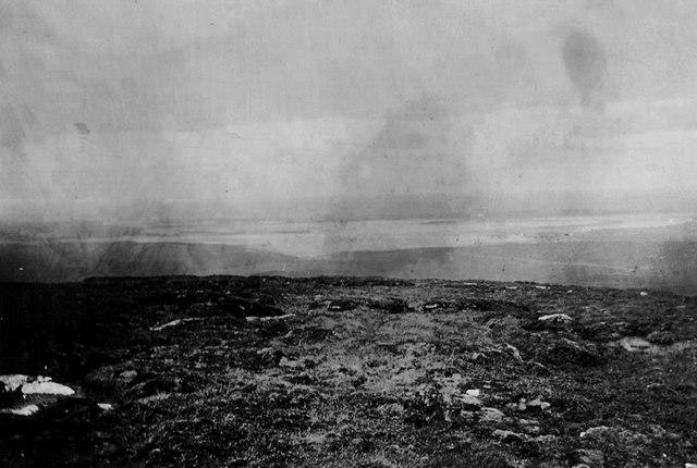
NF8070 : Looking west from Marrival/Bho Mhairebhal gu siar
The Revd William Matheson
NF8070 : North from Marrival/Bho Mhairebhal gu tuath
The Revd William Matheson
Hill facts and local notes
Classifications
Elevation
230m
755 ft
Prominence
222m
Coordinates
57.6070, -7.3456
NF808700
OS Map
18
Explorer: 454W
At the Summit
The summit is marked by a prominent rocky outcrop and a small wooden cairn, offering a splendid viewpoint for those who reach its heights.
Terrain & Geology
Maireabhal is composed primarily of granite, with less resistant schist found in surrounding areas. The mountain's rocky frame offers a sublime insight into the geological history of the region.
Views & Scenery
From the summit, you can gaze upon the rugged coastline of the Outer Hebrides, the distant peaks of Harris, and the shimmering lochs in the valleys below.
History & Heritage
Name Origin
Maireabhal derives from the Gaelic 'Mairi' meaning 'Mary' and 'ubal' meaning 'fruit', possibly indicative of spiritual or fertility connections.
Historical Significance
This mountain holds cultural significance within Celtic traditions, often serving as a place of gathering and reflection.
Getting There & Facilities
Check current local access restrictions, parking rules and transport timetables before travelling. These notes do not confirm public access to the summit.
Parking
There is a small car park at NF801698, approximately 1.5 km from the start of the route.
Public Transport
Public transport options are limited; however, nearby Tarbert has bus services connecting from Stornoway.
Nearby Facilities
While amenities are sparse on the mountain, Tarbert provides several cafes, toilets, and shops for last-minute supplies.
Safety Information
Known Hazards
- Be aware of sudden weather changes typical of the highlands. Slippery rocks and boggy ground can pose a risk, particularly in wet conditions.
General Safety Tips
- Check weather conditions before setting out
- Carry appropriate clothing and equipment
- Let someone know your planned route
- Take a map, compass, and GPS device
- Carry emergency supplies: food, water, first aid kit, torch
Hills
Some common questions about the hills answered
Are there group walks up Maireabhal [Marrival]?
Many walkers use Walkmates to join or organise walks with others. You can check for group walks around Maireabhal [Marrival] through the maps
Are there other walkers around Maireabhal [Marrival]?
Activity varies by location and time, but Walkmates lets you see whether others have shared walks or shown interest in this area. Find other people through the walking friends search walking friends for Maireabhal [Marrival] search or of course create your own walk for Maireabhal [Marrival]
Can I organise a walk to Maireabhal [Marrival]?
Yes. If there aren’t any walks listed already, you can create a walk and make it available for others to join.
If you're signed up to Walkmates, you can create a walk to Maireabhal [Marrival].
How do I find a walk up this hill?
There are often multiple ways to walk this hill, depending on experience and route preference. Walkmates helps you explore walks and routes that others have shared.
Can I suggest a new route up Maireabhal [Marrival]?
Yes. You can suggest or create routes to share with others. Walkmates focuses on the social side of walking, so routes are used to help people organise walks and explore areas together, rather than as detailed navigation tools or route libraries.
Other uses really appreciate knowledgeable walkers sharing their routes. Share your favourite route to Maireabhal [Marrival] here
The is an error or something incorrect about this hill. How do I let you know?
We always strive to keep the information on Walkmates as accurate as possible. If you find an error, please let us know through the contact form and we'll aim to correct it as quickly as possible
Community Discussion
Comments
Location
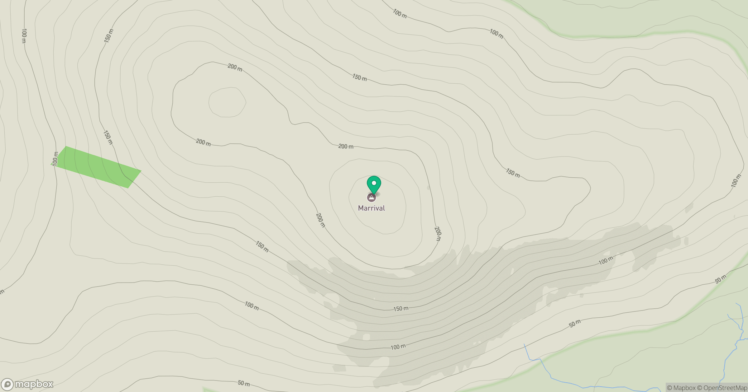
Grid reference: NF808700
View on OpenStreetMapOpens a map in a new tab, centred on the hill.
Hills within 30 km
Straight-line distance, not a walking route or confirmation of access.
Eabhal [Eaval]
347m
Uineabhal [Uneval]
140m
Crogearraidh Mor [Crogary Mor]
180m
Beinn Mhor
190m
Ruabhal [Rueval]
124m
No comments yet. Be the first.